Image Gallery


About Stringers Ridge Park Scenic View Point
Discovering Stringers Ridge Park Scenic View Point
Location Vibe
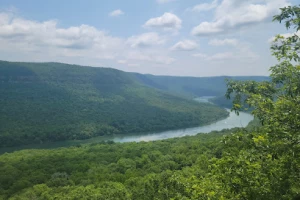
Just a couple of miles from downtown Chattanooga, Stringers Ridge Park Scenic View Point perches atop a 92-acre ridge in North Chattanooga. It’s like the city's own escape hatch—where forest meets skyline, and peace and perspective come standard.
Trails Terrain
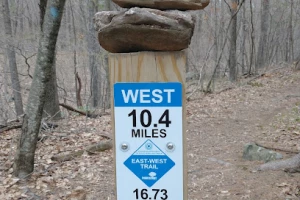
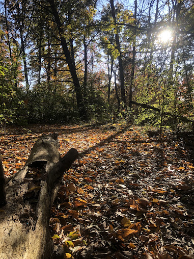
This park features approximately 10 miles of trails, weaving through rolling woodland and open ridgelines. A standout route is the 3.5-mile Blue Trail loop, which gently climbs about 518 ft—perfect for a brisk trail run or thoughtful wander. Some sections are paved for easy walking, while others are unpaved singletracks that test balance and agility. The terrain is both inviting and varied—welcoming to families yet engaging for seasoned hikers, runners, and mountain bikers
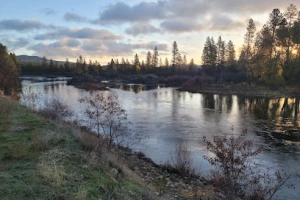
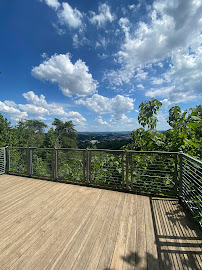
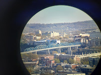
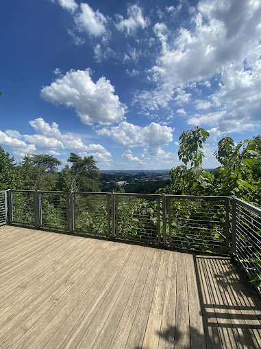
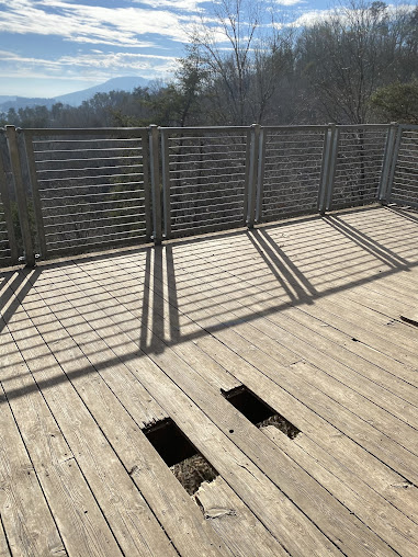
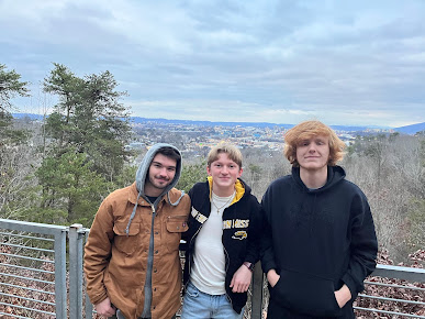
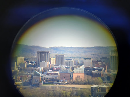
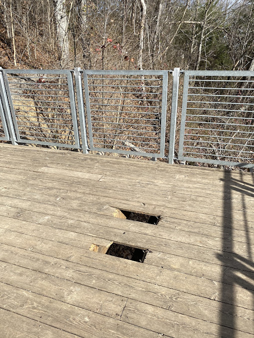
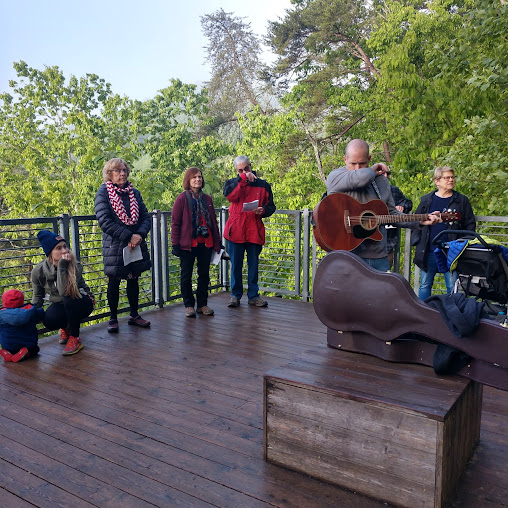
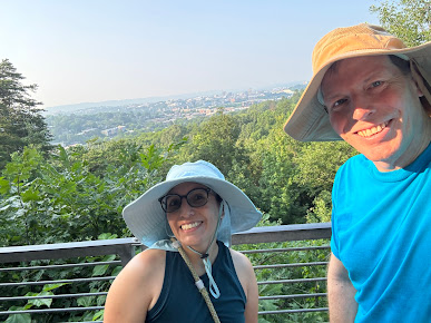
Scenic Overlook Natural Beauty
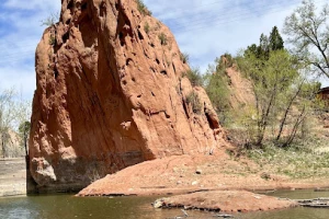
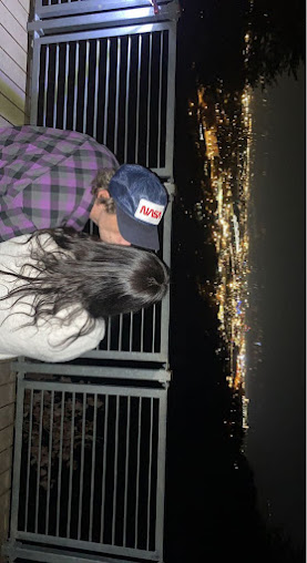
The highlight is a sunny overlook platform offering jaw-dropping views: the broad sweep of the Tennessee River, the North Shore’s bustle, and Chattanooga’s downtown skyline. Towering oaks and hickories frame the vista just right—a beautiful blend of leafy texture and urban structure.
Amenities Access
You'll find two trailheads for easy access—one up north at Spears Avenue, offering parking, restrooms, and even a bike pump track; the other at Bell Avenue on the south side. Trails are thoughtfully marked with directional flow to ensure safe enjoyment for everyone, with walkers and bikers alternating directions on different days.
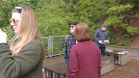
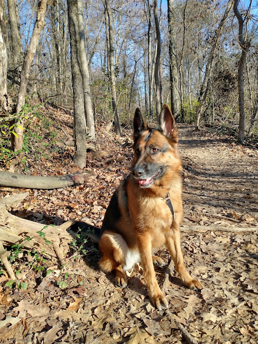
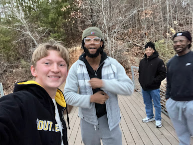
Everyday Life Activities
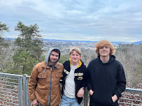
On any given day, you’ll notice trail runners pacing along shaded paths, dog-walking families soaking up quiet green time, and cyclists riding the ridge’s rolling waves of trail. The overlook becomes a shared spot—people pause there to take in the view, chat, or snap a skyline-worthy photo. It strikes a natural balance between active play and peaceful pause.
Meaning Preservation
Stringers Ridge wasn't always protected. In the late 2000s, a plan to build condos threatened its forested slopes—but community action, together with conservationists, secured its future. Today, it stands as a symbol of local stewardship and accessible nature, preserved for those who want to connect, climb, and reflect.